In October 2012, I set out on a hike which I had dreamed of doing for many years. Having made several trips to Phillip Island, it was always on my agenda to hike in Wilson’s Prom. Finally I was fit enough to set myself a challenge -hike to the historic Wilson’s Promontory Lightstation.
.
We drove from Phillip Island that morning, stopping at
Yanakie General Store for final supplies and arrived at the park entrance at
1200 to obtain the park entry permit. It was another 30 km drive to reach Tidal
River where we confirmed our reservation at The Park Visitor Centre and were
directed to the car park designated for overnight hikers use. Walkers can usually choose
between the inland route via Telegraph Saddle car park (19.1 km one way) and the
partial coastal route from Tidal River via Oberon Bay (23.8 km one way).
However at the time of our walk, the Telegraph Saddle route was still closed
due to damage from severe floods which occurred in March 2011. Repair and
recovery efforts are still underway.
With a canopy of tea tree scrub to shade us from the warm 23C
temperature and clear sunny skies, we set off at 1250. After 15 mins, the track
meets the beach at the western end of Norman Beach and we headed towards Little
Oberon Bay. Walking through coastal heath, there were beautiful views looking
out around the sheltered cove back towards Tidal River and out to sea to Great
Glennie Island.
 |
| Norman Beach |
 |
| Coastal heath |
 |
| Little Oberon Bay |
 |
| Scars on the hillside from flood damage |
We continued on to Oberon Bay, with an easy creek crossing
at Growler Creek onto the beach due to low tide. We lunched here for 30 mins,
soaking up the spectacular views with the whole beach to ourselves.


A 2km beach walk to the end of Oberon Bay was easy due to
nicely compacted sand. We found the track that leads off the beach (reach
Frasers Creek and you’ve gone too far). 100 metres through the sand hills is
the Oberon Bay campsite, a sheltered site with picnic benches and toilets, but
no water supply. From here, it is 3.4km to Telegraph Junction along a 4WD
vehicle track, sandy for the most part and well shaded for the first 2km, again
by a thicket of tea tree.
Reaching the Junction, we were greeted by a Parks staff
member, part of a crew doing track/road construction and maintenance (flood
recovery works) complete with convoys of heavy trucks and graders.
 |
| We had covered 11km but still had another 13km to go! |
The next 6km were a hard slog. Walking uphill over Boulder
Range along Telegraph Track, a vehicle management track with the pack weight
and an afternoon sun on our backs was hot and arduous. Thankfully we had our
walking poles which were very useful as it was extremely steep in sections. We passed Halfway Hut
campsite along this section but didn’t stop to have a look, wanting to press
on. It was 4.6km to Roaring Meg campsite
from Halfway Hut. There is a walking track (2.7km) just south of Halfway Hut
which comes out at the top of Martin’s Hill, but this had been closed due to
flood damage. Park notes record that the walking track is uneven in places, so
is more difficult to walk than the management road. We met a couple of track
workers at the summit of Martin’s Hill, which gave us an excuse to stop and
chat whilst readjusting the packs.
We then descended down through a canopy of gums with an understorey
of tree ferns towards Roaring Meg campsite. We stopped for a snack and toilet
stop here. 12 students and their teacher were setting up camp, the other half
of the class having hiked to Waterloo Bay. (The campsites only allow 12 persons
with a 2 night maximum) From Roaring Meg, we chose to take the walking trail
instead of the road to give the knees and hips a rest from the hard road
walking. This trail followed the old Telegraph lines which were erected all the
way to the Lighthouse. Though it was 1km less to walk (2.3 km versus 3.4km), it
was fairly undulating with several creek crossings. Flood damage was again evident
and this track was supposedly closed as well.
We came out to the road again, where the signpost informed us it was 3.8
kms to the Lighthouse.
By now we had walked for 5 hours and were feeling the pinch,
but about 20 mins down the track we caught a glimpse of the peninsula with the
lighthouse perched at the end and exhilaration overcame exhaustion.


Bass Strait shimmered like mirror glass and the lighthouse
was bathed in beautiful golden rays of late afternoon sun. We passed South Peak on the left of the trail and walked through
regenerated bush, the end-result of a major bushfire occurring in March 2005. We descended quickly, reaching the track
junction which leads to Waterloo Bay. Substantial and impressive granite
outcrops reminiscent of Kangaroo Island’s Remarkable Rocks guard the entrance
to the isthmus - Skull Rocks. Adjacent to these rocks are more remnants of the
Telegraph Line accompanied by an interpretative sign. A little further on is a
heli-pad and another track junction where the track to the left leads to the
wharf. The final 800 metres of the track is ahead and after nearly six hours on
the trail is the final insult (or should I say assault) - a concrete path with
an incline that has to be seen to be believed! (see photos)
 |
| Skull Rocks |
 |
| Telegraph Line |

The final assault - that hill.....

keeps going....

and going....

Halfway!

Nearly there?

Just around the Corner....

Almost made it.....

Main Street
We arrived at the Lightstation right on the 6 hour mark. Not
a bad effort I thought - 24km with a 12kg pack on my back. The outward journey
was done and dusted!
We had booked into the
Lightstation Cottages for 2 nights to enjoy the remote location and savour the
experience. The setting is certainly one
of old-school romance. The restored cottages are very well appointed with fully
equipped kitchen, bathroom facilities and communal dining and living room
quarters. Most cottages sleep 8 persons with bedrooms having either one or two
bunks per room with a mattress and a pillow supplied per bed. Visitors need to
supply their own linen or sleeping bags as well as towels. Accommodation is
booked per bed, so guests may find themselves sharing a bedroom with others. The
cottages are available for individual and group bookings for one or two nights.
We shared the cottage with one other couple for both nights who were seasoned
hikers and had visited before.
A helicopter carries
supplies to the Lightstation and carries out rubbish and other materials every
six months. Some supplies can be taken out by boat however like the helicopter,
this is totally weather dependent. A diesel generator provides electricity for
the Lightstation. Gas bottles are the bulkiest and most costly resource
transported to the Lightstation. Hard rubbish from the Lightstation has to be
removed by helicopter so “Carry out what you carry in” is the policy although organic
waste (food scraps) can be placed in compost bins. This hike was our first
attempt at dehydrating food and we had dehydrated curries for dinner both
nights (courtesy of the Burnside Curry House) which were a great success.
The views from the top of the Lightstation looking across
Bass Strait to the numerous islands dotting the ocean were magnificent. Seals
were frolicking at the base of the rocky headland and whales were sighted. One
view in particular captivated my imagination – Rodondo Island - which rises out
of the ocean not unlike an upside down ice-cream cone and is located 10 km
south/southeast from South East Point. The
first official landing of Rodondo was in the 1940’s by a party of teachers and
students from Geelong Grammar School led by John Bechervaise – who accompanied
Warren Bonython on a section of his end to end Flinders Ranges trek in the late
1960’s. Stories and newspaper clippings about the landing were documented in a
scrapbook at Cottage No5 and made absorbing reading. We strolled down to the
wharf where in the 1800’s, supplies were delivered to the lighthouse by ship
every six months. The wharf is still used today when the helicopters cannot be
used. As we explored the grounds of the lighthouse keepers’ cottages, we also
encountered the resident wildlife – a wombat, wallabies, even a snake.


Views from the top - Bass Strait Islands

Looking west towards Waterloo Bay

Rodondo Island on the horizon

Lighthouse Keepers Cottage


Cottage No 5 - our abode


Moonscape

Wires were attached from these to buildings to prevent them from being destroyed during gale force winds

Rodondo Island


The Wharf
We were fortunate to see the Prom at its best - the weather
was perfect and although I relished the fine, warm and calm conditions, a
little part of me wistfully regretted not experiencing the Prom in all of her
stormy fury. There was a full moon on that second night, reminiscent of the
images of the famous “Staircase to the Moon” on WA’s Broome Beach. Looking out
to sea also revealed lights emanating from four other Bass Strait Island
Lightstations – a magical scene and a perfect finish to our sojourn.

Coast - looking east


Sunset on night 1

Burnt-out scrub near South Peak

Descending from Martin's Hill - looking east

Halfway Hut

Inside Halfway Hut

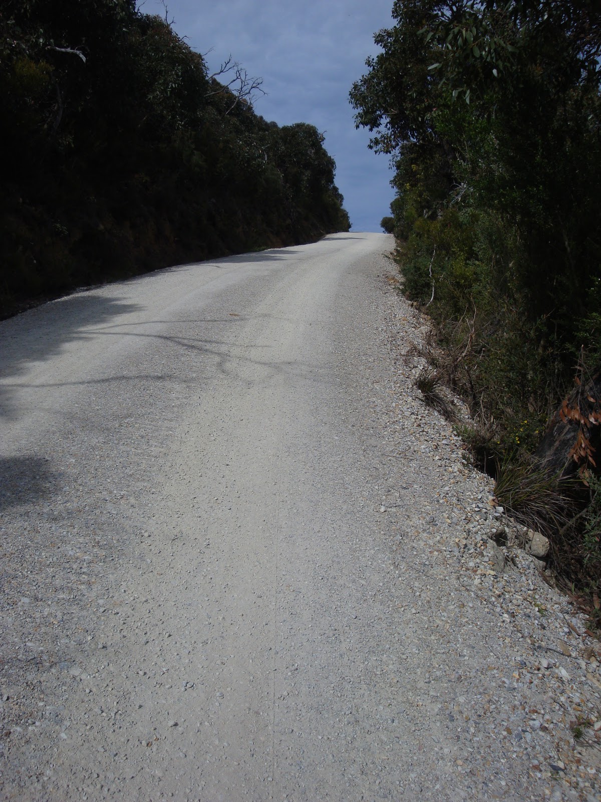
The management track looking towards Mt Oberon
The last half of the walk was a real grind, not sure whether
it was weather related, a lack of fluid intake (or both) which contributed to
fatigue. But I was very happy to finish and celebrate with an ice-cream at the
Tidal River Cafe.

Oberon Bay - wonder where this came from?

The inward journey nearly complete...

flood damage - looking down to Oberon Bay beach

Flood damage - looking up from the track

Done!
The Lightstation Hike is highly recommended. Will definitely plan another visit to
do the whole Prom Southern Circuit walk and hike down to South Point – the
southernmost point of mainland Australia.